
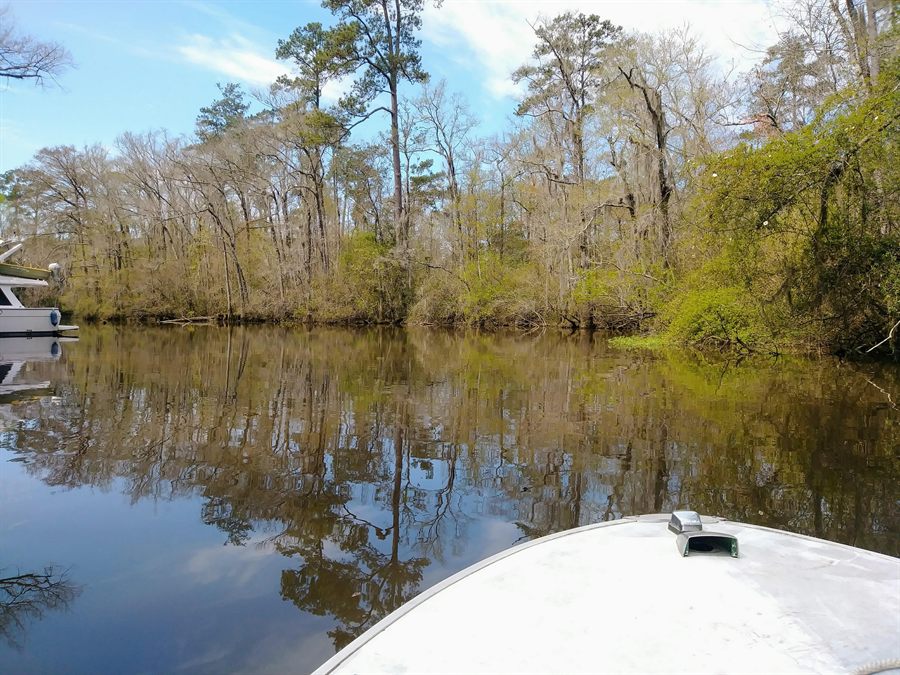
Anglers who used the Reserve Relief Canal to reach Lake Maurepas will be without that route for nearly four years under the current construction schedule.
The U.S. Army Corps of Engineers closed the Reserve Relief Canal Boat Launch and restricted travel down the full length of the canal beginning July 15, 2026. The Corps says the restrictions are projected to remain in place until project completion in June 2030.
The closure prevents boaters from using the public launch and restricts travel through the canal toward Lake Maurepas and the I-10 canal.
It is required for construction of the Reserve Relief Pump Station, where the West Shore Lake Pontchartrain levee alignment crosses the canal.
What is closed
The restriction covers the canal, not only the ramp.
The Corps says travel is restricted down the full length of Reserve Relief Canal. Boaters should not treat the closure as limited to the ramp, parking area or immediate construction site.
The canal itself is closed
This is not limited to the boat ramp, parking area or shoreline near the construction site.
The Corps says vessel travel is restricted down the entire canal. Boaters cannot assume they can launch somewhere else and use Reserve Relief Canal as a passage around the closed ramp.
For anglers who regularly used Reserve, the closure removes an established route to Lake Maurepas through the remainder of this decade.
Depending on where a boater lives and plans to fish, the change could mean a longer drive, a longer run by water, additional fuel use or approaching the lake from a different direction.
Three alternate launches identified
The Corps directed boaters toward three alternate access points:
- Pete's Landing Boat Launch
- Akers Boat Ramp
- Bonnet Carré Spillway Boat Launch
Those locations provide other routes toward Lake Maurepas, but they may not be equally practical for every boater.
The Corps' closure announcement did not include launch fees, operating hours, parking availability or current ramp conditions at each location. Anglers should confirm those details before towing to an unfamiliar launch.
Redirected traffic could also increase demand at nearby ramps during weekends, holidays and favorable fishing conditions.
Camp and camping access may also be affected
The July 2026 closure notice does not identify any private camp or explain whether camp owners will receive access exceptions. It therefore does not establish that every camp in the broader Maurepas Swamp area is blocked.
An earlier Corps planning document does establish that camp access was a recognized project impact. On page 4-17, the Corps' 2014 final feasibility report and environmental impact statement says recreationists could have less access to Maurepas Swamp Wildlife Management Area during construction and that people with recreational camps might temporarily be unable to reach their camps.
That statement addresses construction impacts from the larger West Shore project. It does not name the camps, establish which ones depend on Reserve Relief Canal or confirm their current status.
LDWF currently lists a tent-only camping area on what the agency calls Reserve Canal and identifies Reserve Flood Relief Canal as a boat-access route into the WMA. Because the Corps now says travel is restricted down the full length of Reserve Relief Canal, boaters should not assume that campsite can be reached through that route while the restriction is in place.
Neither the July closure notice nor the LDWF WMA page says whether the camping area itself is separately closed or whether another authorized route remains available. Camp owners and WMA users should confirm access with the Corps and LDWF before making the trip.
Why the closure is necessary
The Reserve Relief Pump Station is part of the West Shore Lake Pontchartrain Hurricane and Storm Damage Risk Reduction project.
The Corps says the project includes 18.5 miles of levees, 11 floodwalls, seven drainage structures, five gates, two pump stations and one bridge. It is intended to provide a 100-year level of storm-surge risk reduction.
The three-parish project area includes St. John the Baptist, St. Charles and St. James parishes.
More than 60,000 people live in the project study area. During Hurricane Isaac, according to the Corps, storm surge inundated approximately 7,000 homes and submerged Interstate 10 for several days.
The Reserve closure is one of the local access consequences of constructing that protection.
A closure spanning nearly four years
The announced closure period runs from July 2026 until the project's projected completion in June 2030.
Several full fishing seasons will pass before that date. Anglers who relied on Reserve will need to adjust their launch plans throughout the remainder of the decade.
The Corps describes June 2030 as a projected completion date, not a guaranteed reopening date.
What happens after construction
The Corps' July closure announcement does not say whether the Reserve Relief Canal Boat Launch will reopen immediately when pump-station construction is completed.
It also does not say whether the ramp, parking area or surrounding access facilities will be restored or improved before reopening, or how boaters will be notified if the projected June 2030 completion date changes.
The 2014 project plan says post-construction canal access would be provided through a gate designed to accommodate recreational use. A later Corps engineering document describes a 16-foot-wide navigation gate at Reserve Relief Canal.
Those plans support future recreational passage after construction, but they do not provide a firm reopening date for the launch or canal.
Check before towing
The practical message is straightforward: the Reserve Relief Canal Boat Launch is closed, and the Corps has restricted travel down the full length of the canal.
Until the route reopens, boaters who relied on Reserve should select an alternate launch before leaving home and confirm its hours, fees, parking availability and ramp conditions.
Camp owners and Maurepas Swamp WMA users should also confirm whether their intended destination remains reachable under the canal restriction.
The current closure schedule runs through June 2030.
Source record
Sources checked include the Corps' July 10 closure release, the West Shore Lake Pontchartrain project page and contract award, the project's 2014 final environmental review, a later engineering appendix, and LDWF's current Maurepas Swamp WMA page.
- U.S. Army Corps of Engineers: Reserve Relief Canal Boat Launch and canal closure
- U.S. Army Corps of Engineers: West Shore Lake Pontchartrain project
- U.S. Army Corps of Engineers: WSLP-114 contract award
- U.S. Army Corps of Engineers: 2014 Final Integrated Feasibility Report and Environmental Impact Statement
- U.S. Army Corps of Engineers: final engineering appendix describing the Reserve Relief navigation gate
- Louisiana Department of Wildlife and Fisheries: Maurepas Swamp Wildlife Management Area
Reader Response
Have a local correction, firsthand detail, or respectful response?
Send it to LAInshore.com. Include the article title, what you saw or know, and any source, photo, document, or public record that helps verify it. Useful reader responses may inform corrections, updates, or follow-up reporting.
Send a response